Beyond Kings Park: The Hidden Nature Walks Locals Love But Tourists Miss
While visitors queue for the Fraser Avenue selfie, Perth residents are slipping into bushland corridors and riverbank tracks that rarely appear on any tourism map.
3 min read
While visitors queue for the Fraser Avenue selfie, Perth residents are slipping into bushland corridors and riverbank tracks that rarely appear on any tourism map.
3 min read
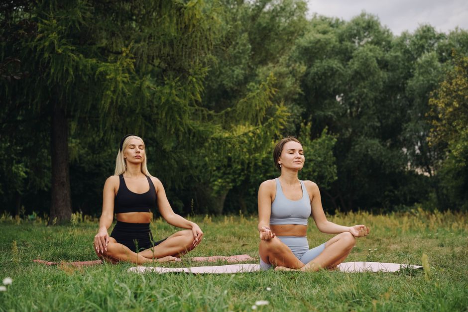
Kings Park gets the postcards. It gets the bus tours, the wedding photographers, and the DNA Discovery Trail brochures handed out at the visitor centre on Fraser Avenue. What it doesn't get — or at least what locals are quietly grateful it doesn't get — is the crowd that bothers to walk 20 minutes further into Botanic Garden bushland where the sealed paths give way to gravel and the orange-flowered banksias close in overhead. Perth residents have been doing exactly that for years, and a growing body of evidence suggests they're making a genuinely smart health decision.
The timing matters. With household budgets under sustained pressure in 2026, free outdoor fitness options have become less a lifestyle preference and more a financial calculation. A single gym session in Northbridge or Leederville averages $25 to $35 as a casual visit, according to pricing on several Perth fitness centre websites checked this week. A bushwalk costs nothing. That arithmetic is landing differently this winter.
Start with Wireless Hill Park in Ardross. Sitting roughly eight kilometres south of the CBD between Kearns Crescent and radio tower remnants from the 1912 Amalgamated Wireless Australasia station, it offers 46 hectares of remnant bushland with unsealed loop tracks that take between 35 and 55 minutes to complete at a moderate pace. On a Saturday morning the carpark holds maybe a dozen cars. The interpretive signage about the site's telecommunications history gives it an odd, specific character you won't find on generic trail apps.
Further north, Bold Park — formally the City of Perth's 437-hectare bushland reserve on Underwood Avenue in Floreat — remains chronically underused relative to its size. The Cabe Trail and Zamia Trail together cover close to five kilometres through tuart and jarrah woodland. The park sits within 10 minutes of Subiaco and City Beach, yet the Bold Park Bushland Friends volunteer group, which has been running restoration working bees there since the 1990s, reports that most people who contact them have driven past the reserve for years without stopping.
Then there is the Canning River Regional Park trail system, managed by the Department of Biodiversity, Conservation and Attractions, which stretches through Kent Street Weir in Wilson and east toward Riverton. The Canning River Eco Education Centre on Kent Street runs free self-guided walk maps. The riverbank sections here — paperbark-lined, tidal-influenced, often holding herons and black swans in numbers — feel nothing like the manicured Swan River foreshore at Claisebrook or East Perth that tourists photograph from restaurant decks.
Research published in the journal Environmental Health and Preventive Medicine found that walking on natural, uneven terrain activates stabilising muscle groups in the lower leg and core at rates roughly 30 percent higher than flat pavement walking at equivalent speeds. For Perth residents managing the kind of sedentary desk-and-screen routines that have become standard, the difference is not trivial. Unsealed bush tracks also mean slower, more deliberate movement — which accumulates mindfulness benefits that a treadmill simply cannot replicate, according to a 2024 review by researchers at the University of Queensland.
The Kings Park parkrun, held every Saturday at 8am starting from the carpark off Forrest Drive, draws between 300 and 500 participants weekly and is genuinely excellent. But it is also known, visible, and social. The hidden-walk phenomenon is something different: solitary or small-group, unhurried, navigated without a timing chip.
Practically speaking, a few things are worth knowing before you go. Wireless Hill and Bold Park carry a real snake risk through winter and spring — stay on marked tracks and wear closed shoes. The Canning River trails can flood after heavy rain; check the DBCA website at dbca.wa.gov.au before heading out. And if you're managing a health condition and wondering how to build an outdoor fitness routine, a GP or exercise physiologist through a local WACHS-affiliated practice can tailor advice specific to your circumstances. The trails will still be there when you're ready.
Spread the word
About this article
Published by The Daily Perth
Stay in the loop
Daily brief
Free, in your inbox before 7am. Weekdays.
The Daily Network — local news across Australia
More local news across Australia